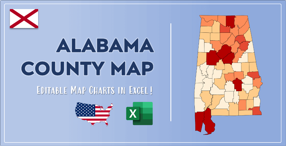

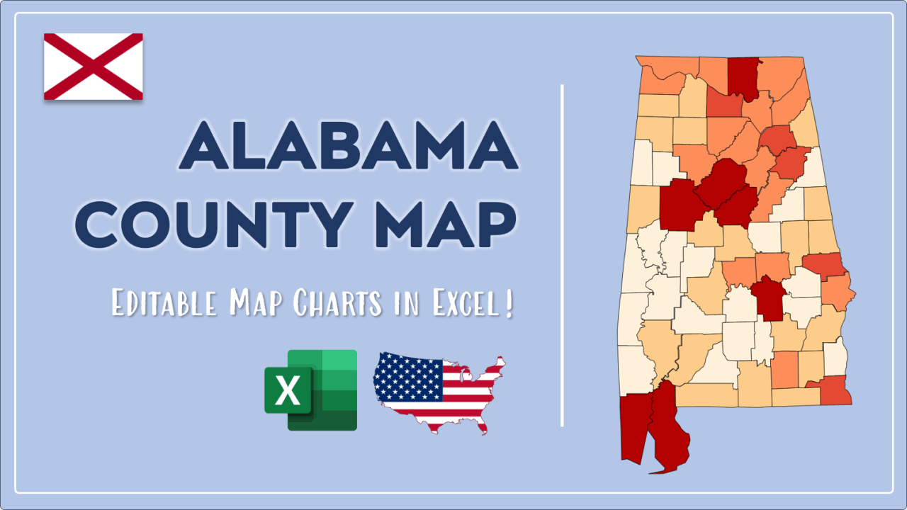
The US state Alabama (AL) is the 24th largest state by population and 30th biggest state by area. Alabama has 67 counties ranking it the 20th state with the most counties in USA. See below some basic information about the state:
| Country: | United States |
| State: | Alabama |
| Abbreviation: | AL |
| Capital: | Montgomery |
| Largest City: | Birmingham |
| Population: | 4,903,185 |
| Population rank in US: | 24th |
| Total Area [mi²]: | 52,419 |
| Total Area [km²]: | 135,765 |
| Area rank in US: | 30th |
| Number of Counties: | 67 |
If you want to show data distributon per geographical area, density maps (or heat maps) are a great way to achieve this. For example, here is a Alabama Population Density Map per County:
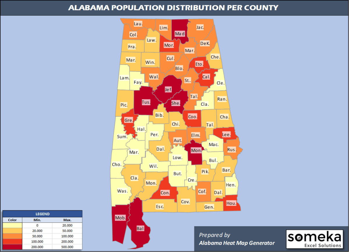
We have prepared this easily with Alabama County Heat Map Generator for population info. But it can also be used for many different data types such as employment rate, average temperature, racial distribution and so on.
Below are 67 Alabama counties ranked by population information. The data is from the US Census Bureau. You can copy and paste this list directly into your spreadsheet.
(Top 10 counties shown. To expand the list, simply click on the “show more” button)
| Rank | County | Population |
|---|---|---|
| 1 | Jefferson County | 658,573 |
| 2 | Mobile County | 413,210 |
| 3 | Madison County | 372,909 |
| 4 | Montgomery County | 226,486 |
| 5 | Baldwin County | 223,234 |
| 6 | Shelby County | 217,702 |
| 7 | Tuscaloosa County | 209,355 |
| 8 | Lee County | 164,542 |
| 9 | Morgan County | 119,679 |
| 10 | Calhoun County | 113,605 |
| 11 | Houston County | 105,882 |
| 12 | Etowah County | 102,268 |
| 13 | Limestone County | 98,915 |
| 14 | Marshall County | 96,774 |
| 15 | Lauderdale County | 92,729 |
| 16 | St. Clair County | 89,512 |
| 17 | Cullman County | 83,768 |
| 18 | Elmore County | 81,209 |
| 19 | Talladega County | 79,978 |
| 20 | DeKalb County | 71,513 |
| 21 | Walker County | 63,521 |
| 22 | Russell County | 57,961 |
| 23 | Blount County | 57,826 |
| 24 | Autauga County | 55,869 |
| 25 | Colbert County | 55,241 |
| 26 | Coffee County | 52,342 |
| 27 | Jackson County | 51,626 |
| 28 | Dale County | 49,172 |
| 29 | Chilton County | 44,428 |
| 30 | Tallapoosa County | 40,367 |
| 31 | Dallas County | 37,196 |
| 32 | Covington County | 37,049 |
| 33 | Escambia County | 36,633 |
| 34 | Chambers County | 33,254 |
| 35 | Pike County | 33,114 |
| 36 | Lawrence County | 32,924 |
| 37 | Franklin County | 31,362 |
| 38 | Marion County | 29,709 |
| 39 | Geneva County | 26,271 |
| 40 | Cherokee County | 26,196 |
| 41 | Barbour County | 24,686 |
| 42 | Winston County | 23,629 |
| 43 | Clarke County | 23,622 |
| 44 | Randolph County | 22,722 |
| 45 | Bibb County | 22,394 |
| 46 | Monroe County | 20,733 |
| 47 | Pickens County | 19,930 |
| 48 | Butler County | 19,448 |
| 49 | Marengo County | 18,863 |
| 50 | Macon County | 18,068 |
| 51 | Henry County | 17,205 |
| 52 | Washington County | 16,326 |
| 53 | Fayette County | 16,302 |
| 54 | Cleburne County | 14,910 |
| 55 | Hale County | 14,651 |
| 56 | Lamar County | 13,805 |
| 57 | Crenshaw County | 13,772 |
| 58 | Clay County | 13,235 |
| 59 | Choctaw County | 12,589 |
| 60 | Sumter County | 12,427 |
| 61 | Conecuh County | 12,067 |
| 62 | Coosa County | 10,663 |
| 63 | Wilcox County | 10,373 |
| 64 | Bullock County | 10,101 |
| 65 | Lowndes County | 9,726 |
| 66 | Perry County | 8,923 |
| 67 | Greene County | 8,111 |
Out of the 67 counties in Alabama, Jefferson County is the largest by population. Baldwin County is the largest by land area.
Greene County is the smallest Alabama county by population. Etowah County is the smallest by size.
In terms of economics and average income level, Shelby County is the richest Alabama county.
Sumter County is the poorest Alabama county.
We have prepared Alabama county density map by population as a downloadable PDF.
You can download the PDF for free from the link below:

Alabama County Density Map PDF
Check the video below to see how we use our Alabama County Map Excel Template to visualize any data over Alabama counties.
We have built the easiest Alabama Heat Map Maker in the universe! It works fully in Excel:
Here is a list of useful links which we think can be helpful whether you work on data visualization or make research about Alabama state and Alabama counties.
Data Source for Population and many other US related data:
https://www.census.gov
Wikipedia Page for List of Alabama Counties:
https://en.wikipedia.org/wiki/List_of_counties_in_Alabama
Official Website of the State of Alabama:
https://www.alabama.gov/
Are you looking for Alabama Zip Code map?:
Alabama Zip Code Heat Map Generator in Excel

