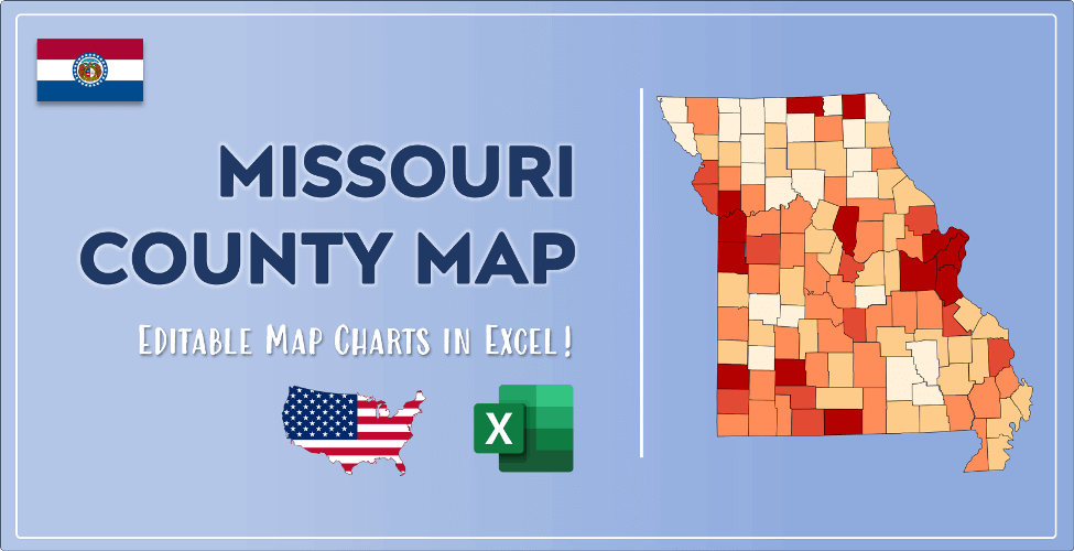

The US state Missouri (MO) is the 18th largest state by population and 21st biggest state by area. Missouri has 115 counties ranking it the 5th state with the most counties in USA. See below some basic information about the state:
| Country: | United States |
| State: | Missouri |
| Abbreviation: | MO |
| Capital: | Jefferson City |
| Largest City: | Kansas City |
| Population: | 6,137,428 |
| Population rank in US: | 18th |
| Total Area [mi²]: | 69,715 |
| Total Area [km²]: | 180,560 |
| Area rank in US: | 21st |
| Number of Counties: | 115 |
If you want to show data distributon per geographical area, density maps (or heat maps) are a great way to achieve this. For example, here is a Missouri Population Density Map per County:
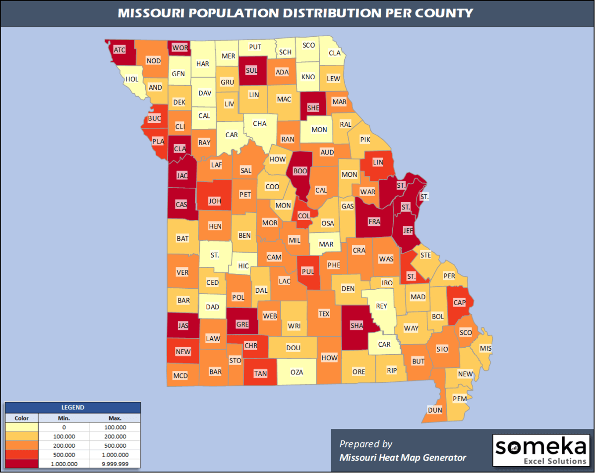
We have prepared this easily with Missouri County Heat Map Generator for population info. But it can also be used for many different data types such as employment rate, average temperature, racial distribution and so on.
Below are 115 Missouri counties ranked by population information. The data is from the US Census Bureau. You can copy and paste this list directly into your spreadsheet.
(Top 10 counties shown. To expand the list, simply click on the “show more” button)
| Rank | County | Population |
|---|---|---|
| 1 | St. Louis County | 994,205 |
| 2 | Jackson County | 703,011 |
| 3 | St. Charles County | 402,022 |
| 4 | St. Louis city/county | 300,576 |
| 5 | Greene County | 293,086 |
| 6 | Clay County | 249,948 |
| 7 | Jefferson County | 225,081 |
| 8 | Boone County | 180,463 |
| 9 | Jasper County | 121,328 |
| 10 | Cass County | 105,780 |
| 11 | Platte County | 104,418 |
| 12 | Franklin County | 103,967 |
| 13 | Christian County | 88,595 |
| 14 | Buchanan County | 87,364 |
| 15 | Cape Girardeau County | 78,871 |
| 16 | Cole County | 76,745 |
| 17 | St. Francois County | 67,215 |
| 18 | Lincoln County | 59,013 |
| 19 | Newton County | 58,236 |
| 20 | Taney County | 55,928 |
| 21 | Johnson County | 54,062 |
| 22 | Pulaski County | 52,607 |
| 23 | Camden County | 46,305 |
| 24 | Callaway County | 44,743 |
| 25 | Phelps County | 44,573 |
| 26 | Butler County | 42,478 |
| 27 | Pettis County | 42,339 |
| 28 | Howell County | 40,117 |
| 29 | Webster County | 39,592 |
| 30 | Lawrence County | 38,355 |
| 31 | Scott County | 38,280 |
| 32 | Barry County | 35,789 |
| 33 | Laclede County | 35,723 |
| 34 | Warren County | 35,649 |
| 35 | Lafayette County | 32,708 |
| 36 | Polk County | 32,149 |
| 37 | Stone County | 31,952 |
| 38 | Dunklin County | 29,131 |
| 39 | Stoddard County | 29,025 |
| 40 | Marion County | 28,530 |
| 41 | Miller County | 25,619 |
| 42 | Texas County | 25,398 |
| 43 | Audrain County | 25,388 |
| 44 | Adair County | 25,343 |
| 45 | Randolph County | 24,748 |
| 46 | Washington County | 24,730 |
| 47 | Crawford County | 23,920 |
| 48 | Ray County | 23,018 |
| 49 | McDonald County | 22,837 |
| 50 | Saline County | 22,761 |
| 51 | Nodaway County | 22,092 |
| 52 | Henry County | 21,824 |
| 53 | Morgan County | 20,627 |
| 54 | Vernon County | 20,563 |
| 55 | Clinton County | 20,387 |
| 56 | Benton County | 19,443 |
| 57 | Perry County | 19,136 |
| 58 | Pike County | 18,302 |
| 59 | Wright County | 18,289 |
| 60 | Ste. Genevieve County | 17,894 |
| 61 | Andrew County | 17,712 |
| 62 | Cooper County | 17,709 |
| 63 | New Madrid County | 17,076 |
| 64 | Dallas County | 16,878 |
| 65 | Bates County | 16,172 |
| 66 | Moniteau County | 16,132 |
| 67 | Pemiscot County | 15,805 |
| 68 | Dent County | 15,573 |
| 69 | Livingston County | 15,227 |
| 70 | Macon County | 15,117 |
| 71 | Gasconade County | 14,706 |
| 72 | Cedar County | 14,349 |
| 73 | Osage County | 13,615 |
| 74 | Ripley County | 13,288 |
| 75 | Douglas County | 13,185 |
| 76 | Mississippi County | 13,180 |
| 77 | Wayne County | 12,873 |
| 78 | DeKalb County | 12,547 |
| 79 | Bollinger County | 12,133 |
| 80 | Madison County | 12,088 |
| 81 | Linn County | 11,920 |
| 82 | Barton County | 11,754 |
| 83 | Montgomery County | 11,551 |
| 84 | Oregon County | 10,529 |
| 85 | Ralls County | 10,309 |
| 86 | Iron County | 10,125 |
| 87 | Howard County | 10,001 |
| 88 | Grundy County | 9,850 |
| 89 | Lewis County | 9,776 |
| 90 | Hickory County | 9,544 |
| 91 | St. Clair County | 9,397 |
| 92 | Ozark County | 9,174 |
| 93 | Caldwell County | 9,020 |
| 94 | Maries County | 8,697 |
| 95 | Carroll County | 8,679 |
| 96 | Monroe County | 8,644 |
| 97 | Harrison County | 8,352 |
| 98 | Daviess County | 8,278 |
| 99 | Shannon County | 8,166 |
| 100 | Dade County | 7,561 |
| 101 | Chariton County | 7,426 |
| 102 | Clark County | 6,797 |
| 103 | Gentry County | 6,571 |
| 104 | Reynolds County | 6,270 |
| 105 | Sullivan County | 6,089 |
| 106 | Carter County | 5,982 |
| 107 | Shelby County | 5,930 |
| 108 | Atchison County | 5,143 |
| 109 | Scotland County | 4,902 |
| 110 | Putnam County | 4,696 |
| 111 | Schuyler County | 4,660 |
| 112 | Holt County | 4,403 |
| 113 | Knox County | 3,959 |
| 114 | Mercer County | 3,617 |
| 115 | Worth County | 2,013 |
Out of the 115 counties in Missouri, St. Louis County is the largest by population. Texas County is the largest by land area.
Worth County is the smallest Missouri county by population. Saint Louis City is the smallest by size.
In terms of economics and average income level, Charles County is the richest Missouri county.
Shannon County is the poorest Missouri county.
We have prepared Missouri county density map by population as a downloadable PDF.
You can download the PDF for free from the link below:

Missouri County Density Map PDF
Check the video below to see how we use our Missouri County Map Excel Template to visualize any data over Missouri counties.
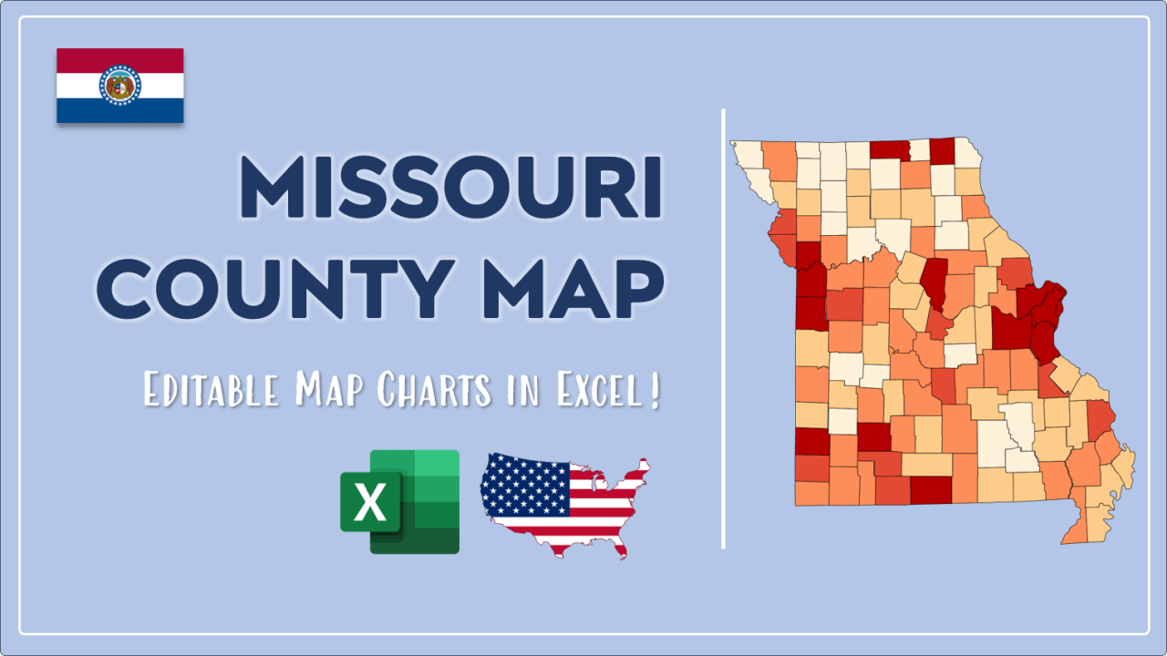
We have built the easiest Missouri Heat Map Maker in the universe! It works fully in Excel:
Here is a list of useful links which we think can be helpful whether you work on data visualization or make research about Missouri state and Missouri counties.
Data Source for Population and many other US related data:
https://www.census.gov
Wikipedia Page for List of Missouri Counties:
https://en.wikipedia.org/wiki/List_of_counties_in_Missouri
Official Website of the State of Missouri:
https://www.mo.gov
Are you looking for Missouri Zip Code map?:
Missouri Zip Code Heat Map Generator in Excel

