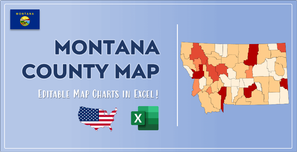

The US state Montana (MT) is the 43rd largest state by population and 4th biggest state by area. Montana has 56 counties ranking it the 28th state with the most counties in USA. See below some basic information about the state:
| Country: | United States |
| State: | Montana |
| Abbreviation: | MT |
| Capital: | Helena |
| Largest City: | Billings |
| Population: | 1,068,778 |
| Population rank in US: | 43rd |
| Total Area [mi²]: | 147,040 |
| Total Area [km²]: | 380,800 |
| Area rank in US: | 4th |
| Number of Counties: | 56 |
If you want to show data distributon per geographical area, density maps (or heat maps) are a great way to achieve this. For example, here is a Montana Population Density Map per County:
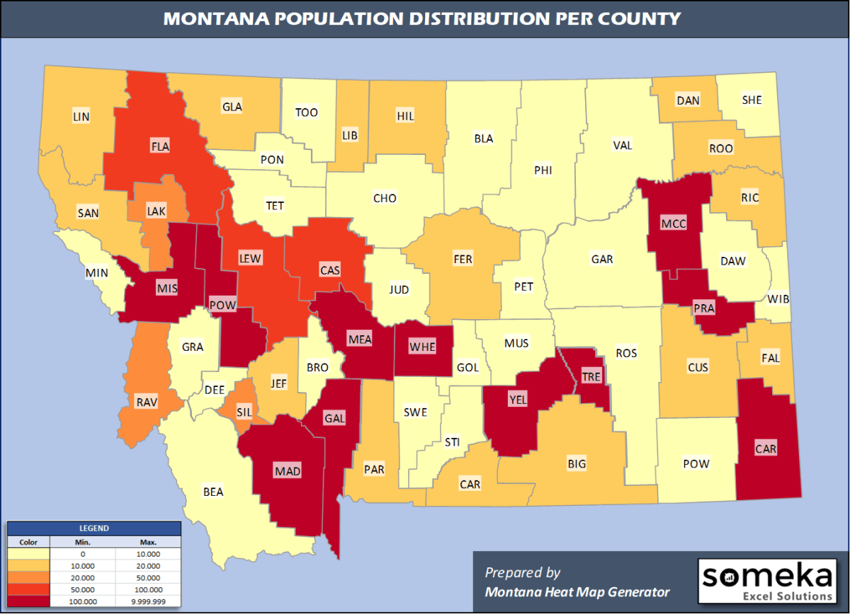
We have prepared this easily with Montana County Heat Map Generator for population info. But it can also be used for many different data types such as employment rate, average temperature, racial distribution and so on.
Below are 56 Montana counties ranked by population information. The data is from the US Census Bureau. You can copy and paste this list directly into your spreadsheet.
(Top 10 counties shown. To expand the list, simply click on the “show more” button)
| Rank | County | Population |
|---|---|---|
| 1 | Yellowstone County | 161,300 |
| 2 | Missoula County | 119,600 |
| 3 | Gallatin County | 114,434 |
| 4 | Flathead County | 103,806 |
| 5 | Cascade County | 81,366 |
| 6 | Lewis and Clark County | 69,432 |
| 7 | Ravalli County | 43,806 |
| 8 | Silver Bow County | 34,915 |
| 9 | Lake County | 30,458 |
| 10 | Lincoln County | 19,980 |
| 11 | Park County | 16,606 |
| 12 | Hill County | 16,484 |
| 13 | Glacier County | 13,753 |
| 14 | Big Horn County | 13,319 |
| 15 | Jefferson County | 12,221 |
| 16 | Sanders County | 12,113 |
| 17 | Custer County | 11,402 |
| 18 | Fergus County | 11,050 |
| 19 | Roosevelt County | 11,004 |
| 20 | Richland County | 10,803 |
| 21 | Carbon County | 10,725 |
| 22 | Stillwater County | 9,642 |
| 23 | Beaverhead County | 9,453 |
| 24 | Deer Lodge County | 9,140 |
| 25 | Rosebud County | 8,937 |
| 26 | Dawson County | 8,613 |
| 27 | Madison County | 8,600 |
| 28 | Valley County | 7,396 |
| 29 | Powell County | 6,890 |
| 30 | Blaine County | 6,681 |
| 31 | Broadwater County | 6,237 |
| 32 | Teton County | 6,147 |
| 33 | Pondera County | 5,911 |
| 34 | Chouteau County | 5,635 |
| 35 | Toole County | 4,736 |
| 36 | Musselshell County | 4,633 |
| 37 | Mineral County | 4,397 |
| 38 | Phillips County | 3,954 |
| 39 | Sweet Grass County | 3,737 |
| 40 | Granite County | 3,379 |
| 41 | Sheridan County | 3,309 |
| 42 | Fallon County | 2,846 |
| 43 | Liberty County | 2,337 |
| 44 | Wheatland County | 2,126 |
| 45 | Judith Basin County | 2,007 |
| 46 | Meagher County | 1,862 |
| 47 | Daniels County | 1,690 |
| 48 | Powder River County | 1,682 |
| 49 | McCone County | 1,664 |
| 50 | Garfield County | 1,258 |
| 51 | Carter County | 1,252 |
| 52 | Prairie County | 1,077 |
| 53 | Wibaux County | 969 |
| 54 | Golden Valley County | 821 |
| 55 | Treasure County | 696 |
| 56 | Petroleum County | 487 |
Out of the 56 counties in Montana, Yellowstone County is the largest by population. Beaverhead County is the largest by land area.
Petroleum County is the smallest Montana county by population. Silver Bow County is the smallest by size.
In terms of economics and average income level, McCone County is the richest Montana county.
Big Horn County is the poorest Montana county.
We have prepared Montana county density map by population as a downloadable PDF.
You can download the PDF for free from the link below:

Montana County Density Map PDF
Check the video below to see how we use our Montana County Map Excel Template to visualize any data over Montana counties.
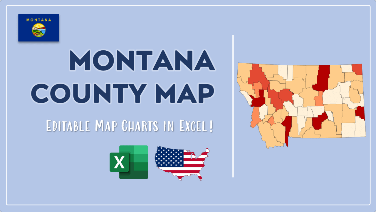
We have built the easiest Montana Heat Map Maker in the universe! It works fully in Excel:
Here is a list of useful links which we think can be helpful whether you work on data visualization or make research about Montana state and Montana counties.
Data Source for Population and many other US related data:
https://www.census.gov
Wikipedia Page for List of Montana Counties:
https://en.wikipedia.org/wiki/List_of_counties_in_Montana
Official Website of the State of Montana:
https://www.mt.gov
Are you looking for Montana Zip Code map?:
Montana Zip Code Heat Map Generator in Excel

