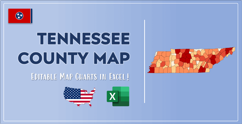

The US state Tennessee (TN) is the 16th largest state by population and 36th biggest state by area. Tennessee has 95 counties ranking it the 10th state with the most counties in USA. See below some basic information about the state:
| Country: | United States |
| State: | Tennessee |
| Abbreviation: | TN |
| Capital: | Nashville |
| Largest City: | Nashville |
| Population: | 6,829,174 |
| Population rank in US: | 16th |
| Total Area [mi²]: | 42,143 |
| Total Area [km²]: | 109,247 |
| Area rank in US: | 36th |
| Number of Counties: | 95 |
If you want to show data distributon per geographical area, density maps (or heat maps) are a great way to achieve this. For example, here is a Tennessee Population Density Map per County:
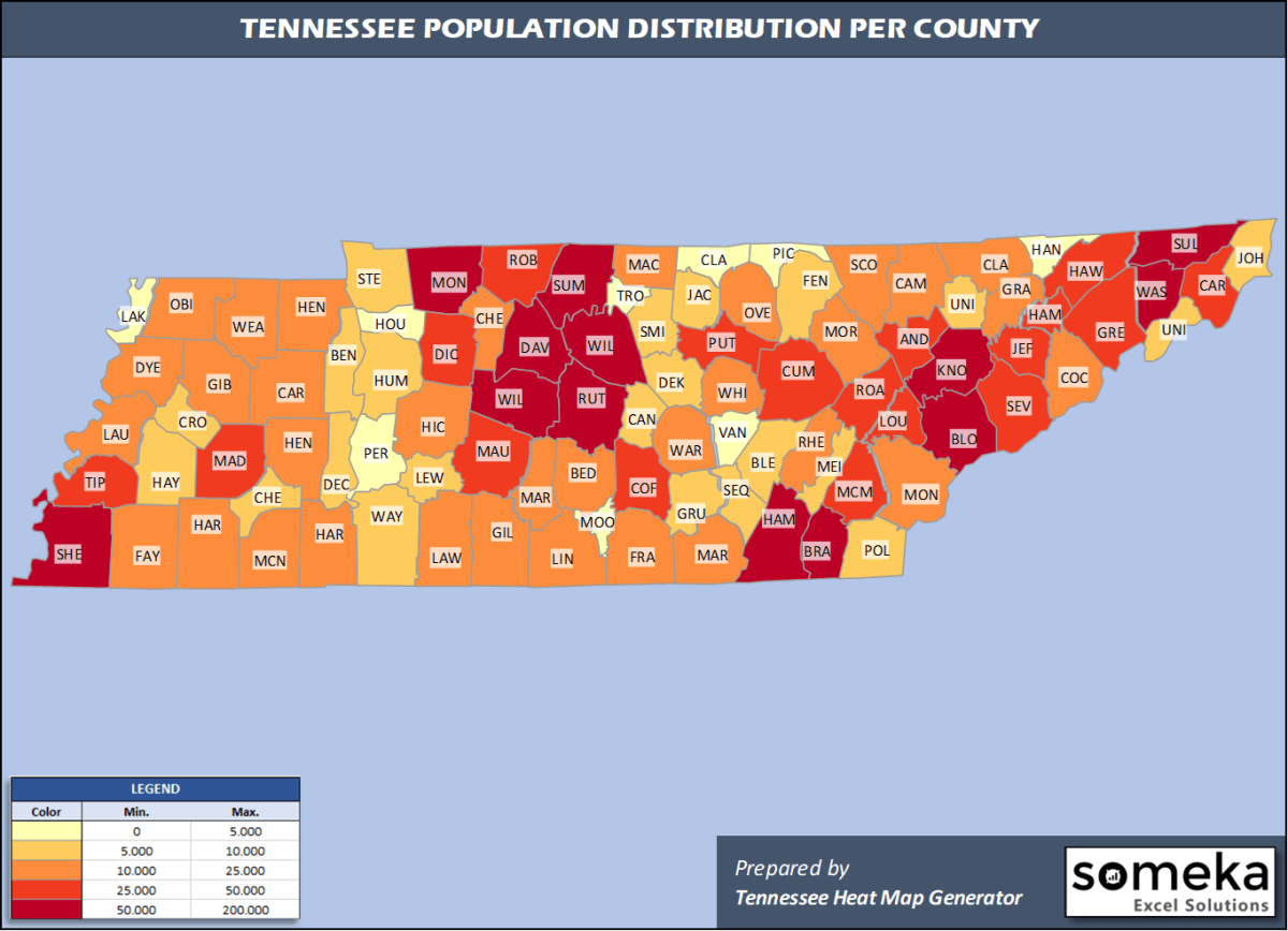
We have prepared this easily with Tennessee County Heat Map Generator for population info. But it can also be used for many different data types such as employment rate, average temperature, racial distribution and so on.
Below are 95 Tennessee counties ranked by population information. The data is from the US Census Bureau. You can copy and paste this list directly into your spreadsheet.
(Top 10 counties shown. To expand the list, simply click on the “show more” button)
| Rank | County | Population |
|---|---|---|
| 1 | Shelby County | 937,166 |
| 2 | Davidson County | 694,144 |
| 3 | Knox County | 470,313 |
| 4 | Hamilton County | 367,804 |
| 5 | Rutherford County | 332,285 |
| 6 | Williamson County | 238,412 |
| 7 | Montgomery County | 208,993 |
| 8 | Sumner County | 191,283 |
| 9 | Sullivan County | 158,348 |
| 10 | Wilson County | 144,657 |
| 11 | Blount County | 133,088 |
| 12 | Washington County | 129,375 |
| 13 | Bradley County | 108,110 |
| 14 | Sevier County | 98,250 |
| 15 | Madison County | 97,984 |
| 16 | Maury County | 96,387 |
| 17 | Putnam County | 80,245 |
| 18 | Anderson County | 76,978 |
| 19 | Robertson County | 71,813 |
| 20 | Greene County | 69,069 |
| 21 | Hamblen County | 64,934 |
| 22 | Tipton County | 61,599 |
| 23 | Cumberland County | 60,520 |
| 24 | Hawkins County | 56,786 |
| 25 | Coffee County | 56,520 |
| 26 | Carter County | 56,391 |
| 27 | Jefferson County | 54,495 |
| 28 | Loudon County | 54,068 |
| 29 | Dickson County | 53,948 |
| 30 | McMinn County | 53,794 |
| 31 | Roane County | 53,382 |
| 32 | Bedford County | 49,713 |
| 33 | Gibson County | 49,133 |
| 34 | Monroe County | 46,545 |
| 35 | Lawrence County | 44,142 |
| 36 | Franklin County | 42,208 |
| 37 | Warren County | 41,277 |
| 38 | Fayette County | 41,133 |
| 39 | Cheatham County | 40,667 |
| 40 | Campbell County | 39,842 |
| 41 | Dyer County | 37,159 |
| 42 | Cocke County | 36,004 |
| 43 | Marshall County | 34,375 |
| 44 | Lincoln County | 34,366 |
| 45 | Weakley County | 33,328 |
| 46 | Rhea County | 33,167 |
| 47 | Henry County | 32,345 |
| 48 | Claiborne County | 31,959 |
| 49 | Obion County | 30,069 |
| 50 | Giles County | 29,464 |
| 51 | Marion County | 28,907 |
| 52 | Henderson County | 28,117 |
| 53 | Carroll County | 27,767 |
| 54 | White County | 27,345 |
| 55 | McNairy County | 25,694 |
| 56 | Hardin County | 25,652 |
| 57 | Lauderdale County | 25,633 |
| 58 | Hickman County | 25,178 |
| 59 | Hardeman County | 25,050 |
| 60 | Macon County | 24,602 |
| 61 | Grainger County | 23,320 |
| 62 | Overton County | 22,241 |
| 63 | Scott County | 22,068 |
| 64 | Morgan County | 21,403 |
| 65 | DeKalb County | 20,490 |
| 66 | Smith County | 20,157 |
| 67 | Union County | 19,972 |
| 68 | Humphreys County | 18,582 |
| 69 | Fentress County | 18,523 |
| 70 | Unicoi County | 17,883 |
| 71 | Johnson County | 17,788 |
| 72 | Haywood County | 17,304 |
| 73 | Chester County | 17,297 |
| 74 | Polk County | 16,832 |
| 75 | Wayne County | 16,673 |
| 76 | Benton County | 16,160 |
| 77 | Bledsoe County | 15,064 |
| 78 | Sequatchie County | 15,026 |
| 79 | Cannon County | 14,678 |
| 80 | Crockett County | 14,230 |
| 81 | Stewart County | 13,715 |
| 82 | Grundy County | 13,427 |
| 83 | Meigs County | 12,422 |
| 84 | Lewis County | 12,268 |
| 85 | Jackson County | 11,786 |
| 86 | Decatur County | 11,663 |
| 87 | Trousdale County | 11,284 |
| 88 | Houston County | 8,201 |
| 89 | Perry County | 8,076 |
| 90 | Clay County | 7,615 |
| 91 | Lake County | 7,016 |
| 92 | Hancock County | 6,620 |
| 93 | Moore County | 6,488 |
| 94 | Van Buren County | 5,872 |
| 95 | Pickett County | 5,048 |
Out of the 95 counties in Tennessee, Shelby County is the largest by population. Shelby County is the largest by land area.
Pickett County is the smallest Tennessee county by population. Trousdale County is the smallest by size.
In terms of economics and average income level, Union County is the richest Tennessee county.
Lake County is the poorest Tennessee county.
We have prepared Tennessee county density map by population as a downloadable PDF.
You can download the PDF for free from the link below:

Tennessee County Density Map PDF
Check the video below to see how we use our Tennessee County Map Excel Template to visualize any data over Tennessee counties.
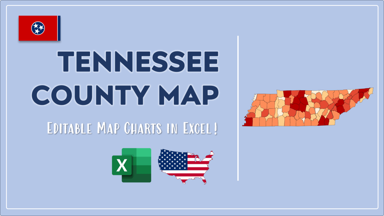
We have built the easiest Tennessee Heat Map Maker in the universe! It works fully in Excel:
Here is a list of useful links which we think can be helpful whether you work on data visualization or make research about Tennessee state and Tennessee counties.
Data Source for Population and many other US related data:
https://www.census.gov
Wikipedia Page for List of Tennessee Counties:
https://en.wikipedia.org/wiki/List_of_counties_in_Tennessee
Official Website of the State of Tennessee:
https://www.tn.gov
Are you looking for Tennessee Zip Code map?:
Tennessee Zip Code Heat Map Generator in Excel

