Russia Geographic Heat Map Generator Excel Template
Excel spreadsheet to create Russia Heat Map. Visualize your data on a density map automatically. Editable shapes compatible with Powerpoint.
TEMPLATE DESCRIPTION
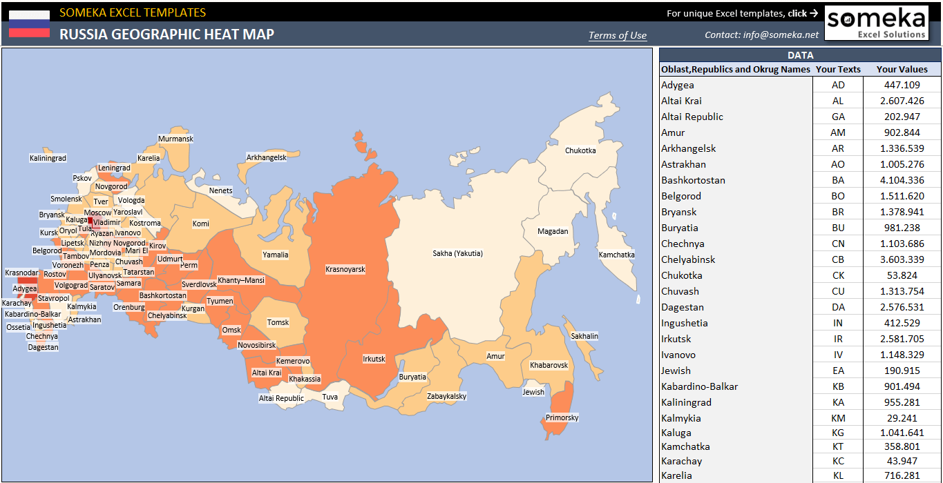
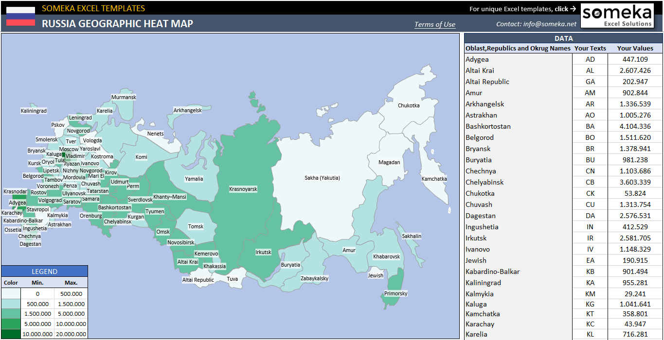
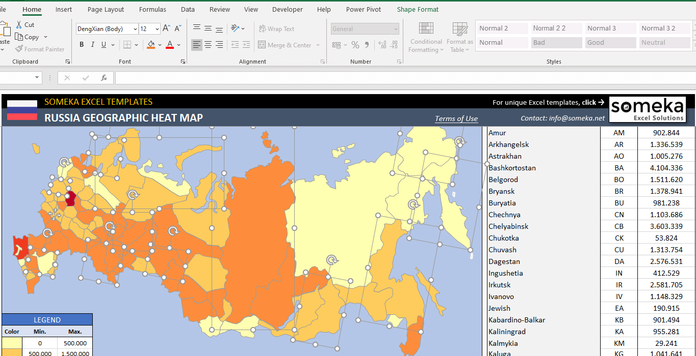
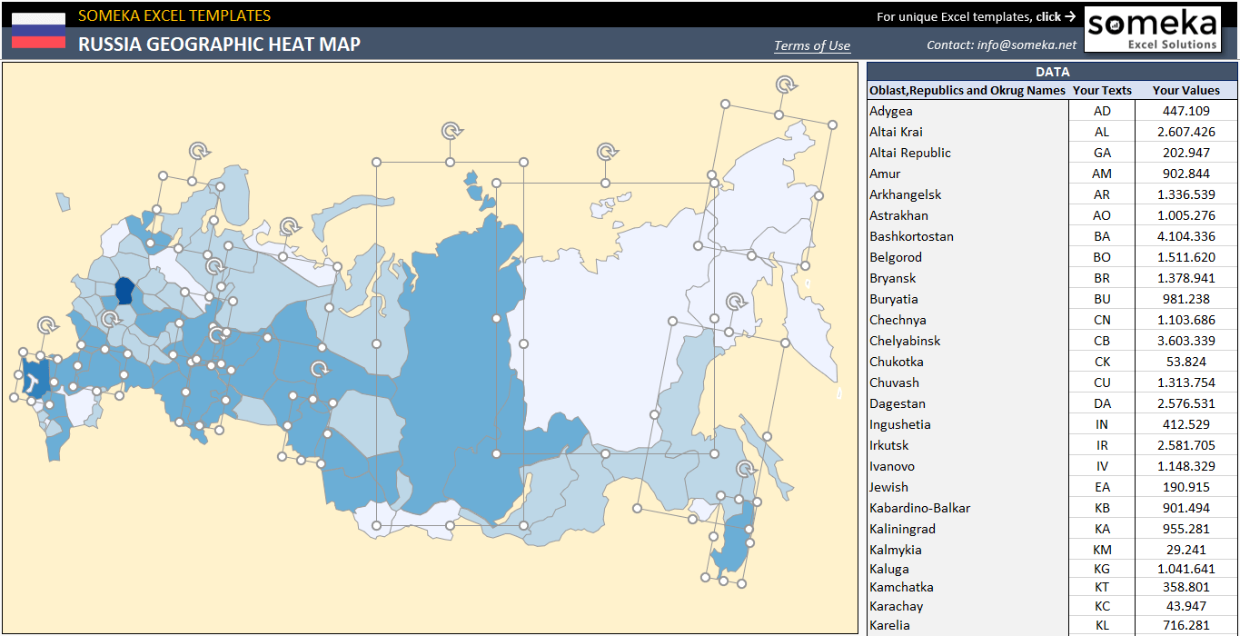
Utilizing Heat Maps is an effective strategy to present and illustrate your geographic information. By using heat maps you can show population, climate, or any other numeric metric. Our Russia Heat Map Generator provides a simple visual illustration to you during presenting your documents.
You can set the legend according to the data that you will use in your presentation or research. So, you can take the advantage of using colors to present a set of data. Thus, the things that you are going to tell or present will be more attractive and clear. So, this is how you’ll create your Russia choropleth map.
Russia Heat Map Generator Features:
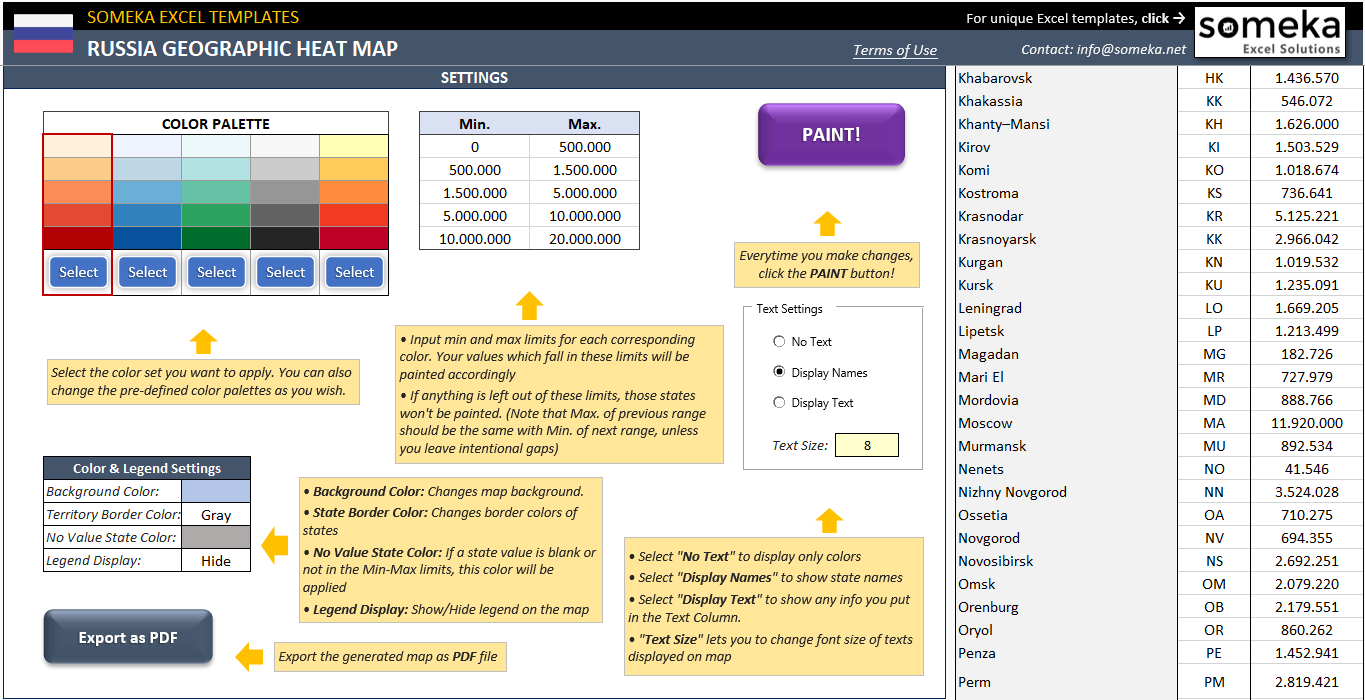
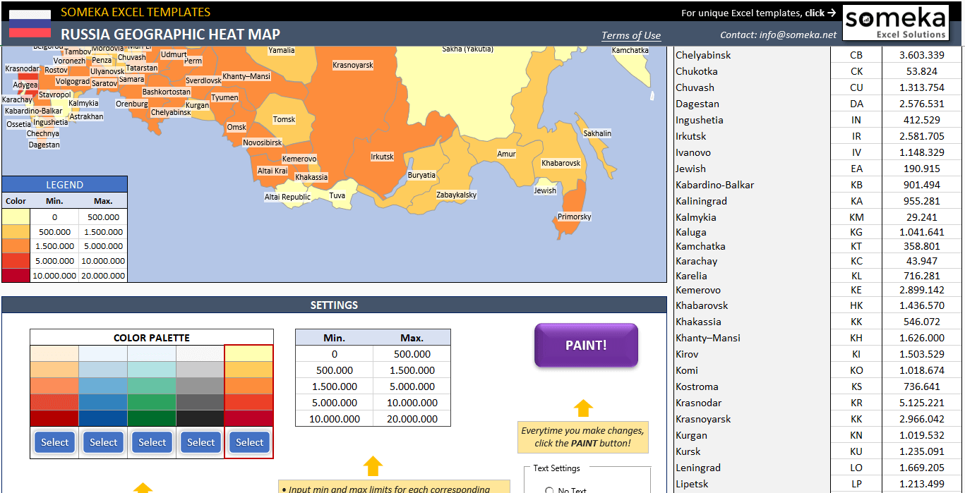
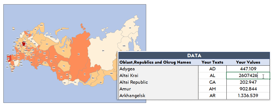
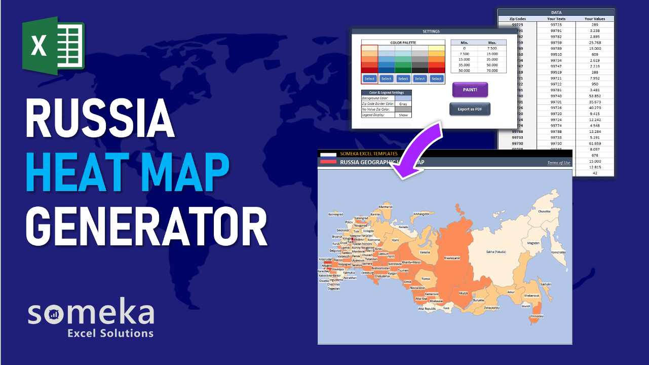
Once you input the necessary values for each territory or text (could be abbreviations) to color or represent on the map. State your legend criteria from the table on the map. According to the data ranges entered, each color will represent its maximum and minimum values.
You can select the color range from the color palette that you would like to present the data distribution. The red frame will show the range of colors you have chosen. After that, please hit the “Paint” button once you adjust all the settings and enter all the values you would like to display.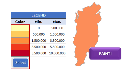
Likewise, you may select different settings to determine how the data you enter will show up on the density map.
The Text Settings
In the text settings you may find three options which are;
- No text (where there are no text or values)
- Display Names (where the names of the territories are displayed)
- Display Text (where the text or values you entered on the “Your Texts” section are displayed).
 In Russia heat map, you can also specify the size of the text from the text settings section by inputting it manually. This will change the size of the displayed texts or values on territories.
The Color & Legend Settings
- Background Color: Changes the background color of the map.
- State Border Color: Change the border colors of territories.
- No Value State Color: If a territory value is blank or not in the Min-Max limits, the color of this cell will be applied.
- Legend Display: You can select to Show or Hide option for the legend on the map.
To get a PDF of the Russia Heat Map an “Export as PDF” button has been placed in the template.
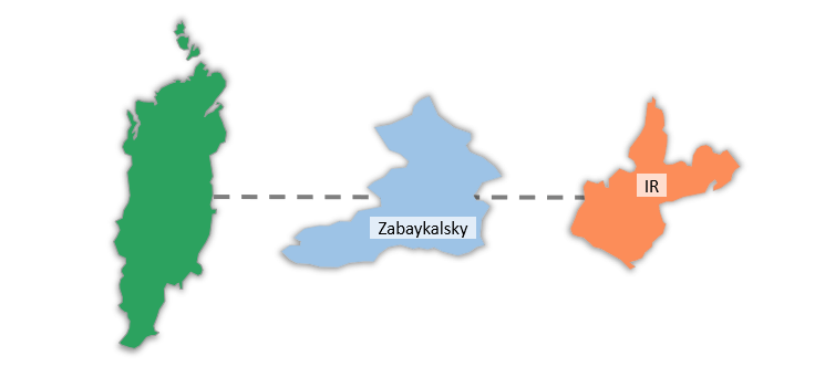
In addition, you can copy and edit the shapes to your other documents. In that way, you can show each territory more closely as separate in your other documents.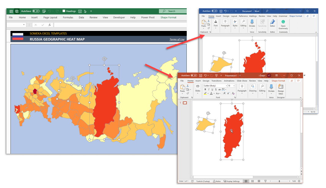
Someka Russia Heat Map Generator Features
- Easy to fill
- Professional design for presentations
- Full Print Ready
- Export to PDF feature
- Informational notes included
- Turn on/off sheet instructions features
- No installation is needed. Ready to use.
- Includes VBA code and macros
- Works both on Mac and Windows
- Compatible with Excel 2007 and later versions
PRODUCT VIDEO
Watch the video below to see the template in action! Presentation also includes usage notes, explanations and tips & tricks about the template.
USER REVIEWS & COMMENTS
5 reviews for Russia Geographic Heat Map Generator Excel Template
You must be logged in to post a review.
RELATED TEMPLATES
-
 This product has multiple variants. The options may be chosen on the product page
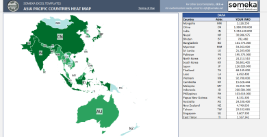
Asia Pacific Heat Map Generator Excel Template
$0.00 – $59.95Printable Geographic Heat Map of Asia Pacific Countries. Just put your data in Excel and your APAC heat map will be generated automatically!
-
This product has multiple variants. The options may be chosen on the product page
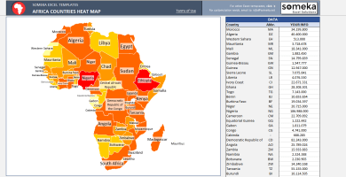
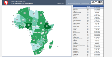
Africa Heat Map Generator Excel Template
$0.00 – $59.95Unique Excel Template to generate Africa Heat Map. Just put your data and your printable Geographic Heat Map will be generated automatically.
-
This product has multiple variants. The options may be chosen on the product page
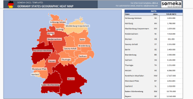
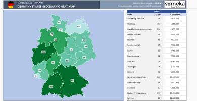
Germany Geographic Heat Map Generator Excel Template
$0.00 – $59.95Unique Excel Template to Make Dynamic Germany Heat Map at Region Level. Enter your data in Excel and your heat map gets created instantly.
-
This product has multiple variants. The options may be chosen on the product page
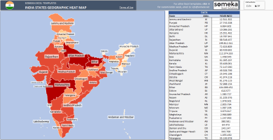
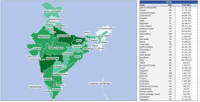
India Geographic Heat Map Generator Excel Template
$0.00 – $59.95Excel template which lets you paint India States automatically with VBA. Enter your own data, click the button and heat map will be created.
-
This product has multiple variants. The options may be chosen on the product page
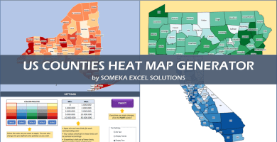
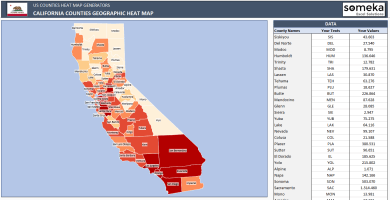
US County Heat Map Generator Excel Templates
$0.00 – $79.95Excel Template to generate heat maps for US Counties. Visualize your data in an editable spreadsheet. Copy paste shapes into Powerpoint.
-
This product has multiple variants. The options may be chosen on the product page
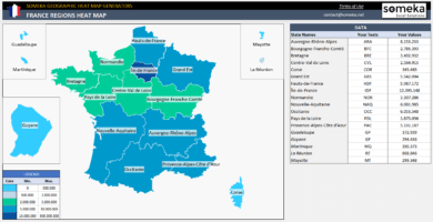
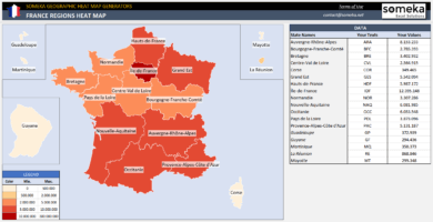
France Geographic Heat Map Generator Excel Template
$0.00 – $59.95Excel Heat Map Generator to paint France provinces automatically according to your data. Make inputs in Excel and your geo heat map created instantly.
Emil Morozov –
great product.I purchased it a long time ago and would like to use it again, do I need to buy a new download or does my prior purchase port? I believe I used my prior work email at the time
Someka –
Dear Emil,
No worries, we can resent the delivery message to your e-mail address.
Just email us at contact@someka.net and our team will contact you.
If you don’t receive or can’t download it, please let us know.
Steven Seaver –
The template is useful and practical
Samanta H –
User-Friendly
Mason –
I love it
Krista C –
Someka has made life easier